Your cart is currently empty!


Mandatory gear is a GPS device with a Digital TOPO Map of Sweden and GPS Tracks loaded on it.
The GPS tracks will also contains waypoints, like road crossings, dangerous spots etc. on the track.
it will be available in one combined download file and as separate downloads for each stage.
If you need assistance with the installation of the GPS files / Topo Maps please contact us at the Race Office.
Below you find digital Topo maps which will have enough detail. Options for Garmin, Android Phone, iPhone and Apple Watch devices
Note: Make sure you use a device which can handle cold weather conditions!
Amundsen Race Topo Map (Garmin – Free download)
Amundsen 500 Topo Map (For Garmin devices up to 500 Custom Maps)
Amundsen 100 Topo Map (For Garmin devices up to 100 Custom Maps)
Description
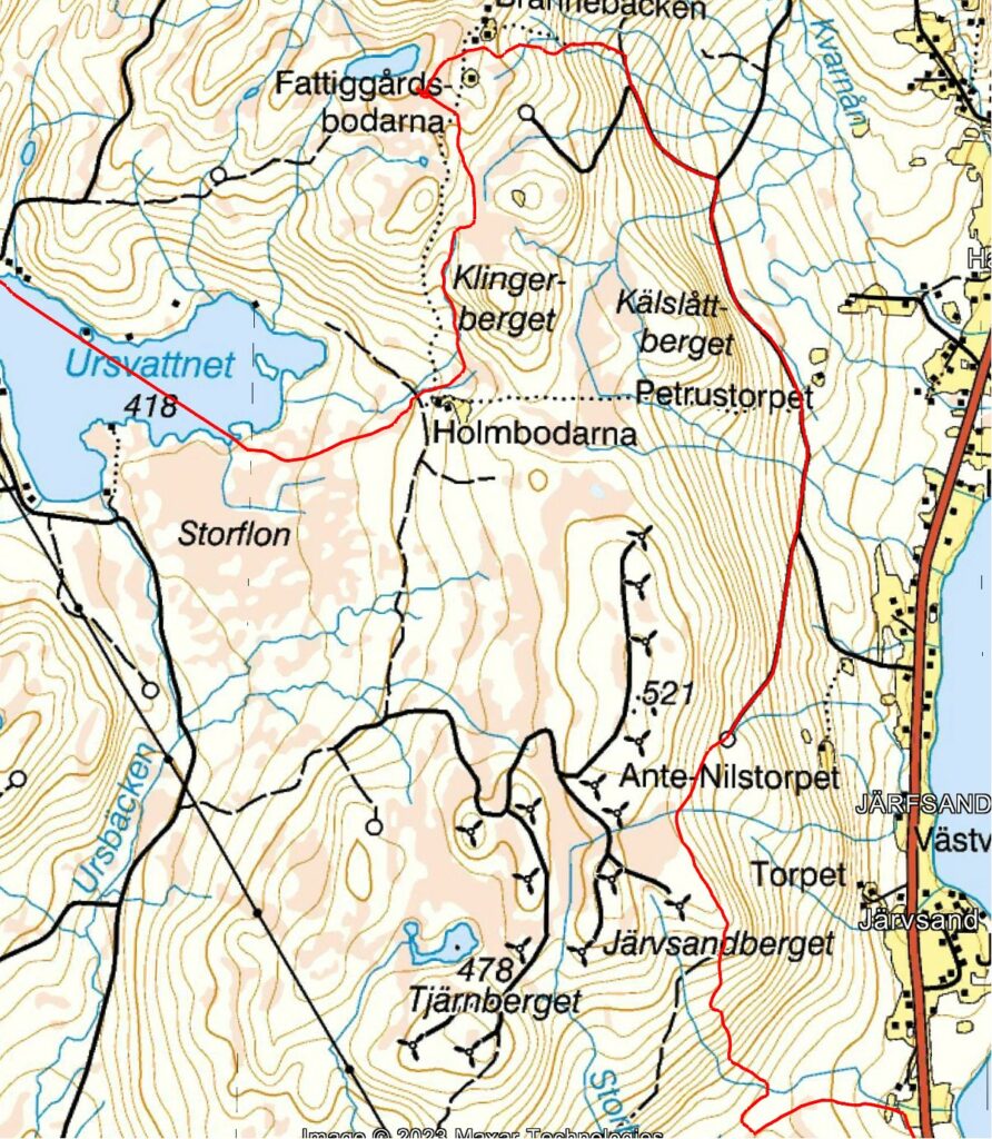
This is a custom map created by Amundsen Race and it is based on the Lantmäteriet Vägkartan maps. With thanks to Örnsätrarn who did a great job for creating the tiles. This map has a very high detail.
Note: The map contains only the area where Amundsen Race is held.
Please check out if your Garmin device supports custom maps by following the link to the Garmin support page.
Note: Garmin devices like eTrex Series, GPSMap 62/78, GPSMAP 276Cx, Dakota Series, Colorado 300/400 Series, Rino 600/750 only support 100 Custom Maps instead up to 500 Custom Maps like the Garmin GPSMAP 64,65,66,79,86 Series, Montana Series, Oregon 600,700, Monterra.
- Download the correct zip file (100 or 500 maps) for your device by clicking one of the links above.
- Unpack it.
- Connect your GPS with a USB cable and copy the resulting AR Topo 2024.kmz file to the Garmin/CustomMaps directory on internal memory.
- Disconnect the USB cable.
- Go to the main menu of your GPS.
- Select ”Map” option and press Menu.
- Select ”Map Setup.
- Select Configure Maps”.
- Select ”Custom Maps”.
- Select AR Topo 2024.kmz Map 2024
- Select ”Enable”.
- It can be possible that you have to zoom in to 3km level to see the map.
The extracted AR Topo file can also be viewed directly in Google Earth and Garmin Basecamp.
Open Topo Winter II (Free Garmin Topo Map)
OSM Topo Winter II (Free Garmin Topo map)
Description
The map is suitable for hiking in forests and fields in the winter season, and in the mountains.
In addition to Topo Summer it contains cross country / snowmobile tracks. In places where this tracks follows roads or trails only the cross country tracks is shown.
Topo Winter II map contains essentially the same data as Topo Winter, but has a different appearance. It is based on a screen cartography developed by the National Map Agency and the Norwegian Armed Forces
Available as download for GPS and use in Basecamp. Click on the link above to go to the Frikart page for Sweden.
The maps are updated every week.
Garmin Open Topo Pro v7 (Price 1.799,- SEK)
Garmin Open Topo Pro V7 (Price 1.799,- SEK)
Description
Shows all of Sweden on a microSD card that you connect easily, with topographical data from Lantmäteriet at a scale of 1:50,000 and 1:100,000
Available as download or MircoSD Card. Click on the link above to go to the Garmin page.
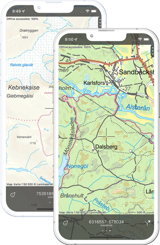
Topo GPS App Android/Apple (Price 3,99 EUR)
Topo GPS App (Price 3,99 Euro)
Description
Topographic map of Sweden on your iPhone, Android phone and Apple Watch.
Note: iPhone and Samsung Galaxy ambient temperature is between 0º and 35ºC
A topographical map contains many details such as elevation contours, small roads and land use and is therefore ideal for outdoor navigation.
Map 1:50,000
In Topo GPS you can buy access to the entire Map 1:50,000 topographical map of Sweden. Map 1:50,000 is produced by Lantmäteriet, Sweden’s national mapping agency.
You can make the topographic maps available offline. In this way, you are sure that the maps you need are always available.
Free future updates included. The map is available on all devices using the same Apple ID or Google Play account.